
Met Éireann says animal welfare at risk as cold weather warning issued
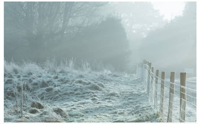

A Yellow weather warning is in place until later today as severe frost and icy stretches forecast.
Warnings have been issued to motorists due to difficult travelling conditions while vulnerable people and animal owners have been warned to be vigilant of the low temperatures.
Frost and ice will gradually clear most places this morning, though it may linger all day in parts of the south. Rain, sleet and snow in Ulster, north Connacht and north Leinster will transition mostly to rain and drizzle by mid-morning.
It'll be brighter further south with sunny spells. Highest temperatures of 3 to 7 degrees with light to moderate southwest to west winds.
A mix of clear spells and patchy cloud along with scattered outbreaks of light rain, drizzle, sleet and snow for a time tonight.
Wintry showers will become increasingly confined to the west and north as the night goes on. Lowest temperatures of -4 to -1 degrees with a sharp to severe frost and icy stretches forming. A light northerly or variable breeze will allow patches of fog or freezing fog to develop.
Very cold tomorrow, Wednesday, with frost, ice, fog and freezing fog slow to clear through the morning, and lingering all day in some locations, leading to hazardous travelling conditions.
Otherwise, a largely dry day with spells of winter sunshine, though scattered showers of sleet and snow will affect the west and north at times. Highest temperatures of just 1 to 4 degrees generally, not rising above freezing in some areas, in light northwest or variable breezes.
Another very cold night on Wednesday with widespread frost and icy stretches forming. Dry and clear for many, apart from patches of fog and freezing fog and some wintry showers near northern and western coasts. Lowest temperatures of -5 to -1 degrees Celsius in mostly light northwest breezes.
A frosty or icy start on Thursday, will be followed by another very cold but generally dry and sunny day. Scattered wintry showers will affect the north and northwest, however, with just the odd stray shower possible elsewhere.
Top temperatures of 1 to 5 degrees Celsius in mainly light northwest to west breezes. Largely dry and clear with just isolated showers near western and northern coasts on Thursday night.
Another widespread sharp to severe frost expected along with icy stretches and patches of fog and freezing fog. Overnight lows generally falling to between -5 and -2 degrees Celsius in light southwest or variable breezes.
Cold and bright to begin on Friday, with widespread frost and icy stretches. Cloud will thicken by the afternoon with patchy rain and drizzle developing along Atlantic coasts.
Afternoon highs will range 2 to 6 degrees Celsius. Light southerly breezes increasing moderate and freshening along southern and western coasts. Wet and breezy with rain spreading eastwards on Friday night. Temperatures rising overnight, ranging 5 to 9 degrees Celsius by morning.