
Met Éireann issues immediate weather warning for 18 counties this evening
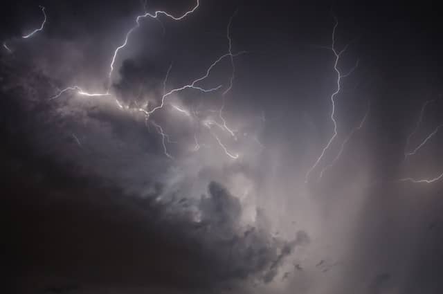

A thunderstorm warning has been extended to most of the country
18 counties have been included in a widespread Status Yellow weather warning from Met Éireann.
The Status Yellow thunderstorm warning was extended to most of the country on Thursday and now covers counties Carlow, Kildare, Kilkenny, Laois, Longford, Louth, Meath, Offaly, Westmeath, Cavan, Monaghan, Clare, Cork, Limerick, Tipperary, Waterford, Leitrim and Roscommon.
Met Éireann's update on the weather warning tells people in the above counties to expect "heavy downpours with thunderstorms and hail" on Thursday evening.
They list potential impacts as spot flooding, hazardous travelling conditions and poor visibility.
The warning is valid until 8pm on Thursday.
Met Éireann's wider forecast says "tonight [Thursday], outbreaks of heavy and thundery rain will affect parts of Leinster and Munster, but it will be mainly dry elsewhere with a mix of cloud and clear spells. A few mist and fog patches will form also. Lowest temperatures 9 to 12 degrees. Moderate northerly winds will freshen overnight near Atlantic coasts.
"Cloudy and misty in the East and South at first on Friday with patchy rain and drizzle. Drier elsewhere with sunny spells. Brighter skies will gradually extend into most areas later in the day. Highest temperatures of 14 to 20 degrees, best values inland during sunny spells. Northeasterly winds will be no more than moderate overland, fresher along Atlantic fringes."
Their national outlook says it will be "mostly cloudy overnight Friday night but with a lot of dry weather and just an isolated shower. Some and fog will form under any cloud breaks. Lowest temperatures 10 to 12 degrees in light northwest or variable breezes."