
Drone and satellite project tackling wildfires wins 1m euro defence funding


Tanaiste and Minister for Defence Micheal Martin has awarded a million euro to drone and satellite technology it is hoped will be used to help tackle wildfires.
A team at Maynooth University were announced as winners of the first Organisation Innovation Challenge, a joint initiative between Science Foundation Ireland (SFI) and the Department of Defence.
The winning pitch uses machine learning and observations from satellites and drones to help aerial crews fight wildfires by sharing footage in real time.
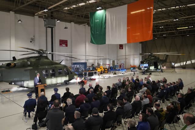
Announcing the winners at Casement Aerodrome in Dublin, Mr Martin said: “To witness the innovation and creative problem-solving by so many of the teams involved in this challenge is really encouraging.
“The Defence Organisation RTI Unit is increasing the use of research, innovation and technology in support of our Defence Forces capabilities, and as a recent creation, its progress is really impressive.

“I thank those members of the Defence Organisation who worked on these projects and really look forward to seeing how this work develops into the future.”
Minister for Further and Higher Education, Research, Innovation and Science Simon Harris said the researchers had “broken the mould of innovation in Ireland”.
“The winning team has shown the power of new technologies to help in the work of the Defence Forces, with applications that may reach far beyond the original challenge,” he said.

Team leader Professor Tim McCarthy said the funding would help prepare for the future when wildfires were expected to become more frequent and intense events.
“The reality is that wildfire events are now likely to affect us all either directly or indirectly because of climate change,” he said.
The interdisciplinary team included co-principal investigator Professor John McDonald, research strand leader Dr Charles Markham and additional researchers drawn from the Department of Computer Science, the National Centre for Geocomputation in Maynooth University Social Sciences Institute.
The team also worked closely with Commandant Jay O’Reilly’s aerial firefighting team, as well as members of the Fire Service, National Parks and Wildlife Service and Coillte.
Prof McCarthy said: “Over 18 months, we designed, built and tested an intuitive Common Operational Picture platform to improve how digital data from satellites, aircraft and drones sensors can be captured, pooled and shared in real time between various responder agencies.”